Solar As-Built: Design-to-Site Comparison with Drone Data
Constructioneyerod · · 4 min read
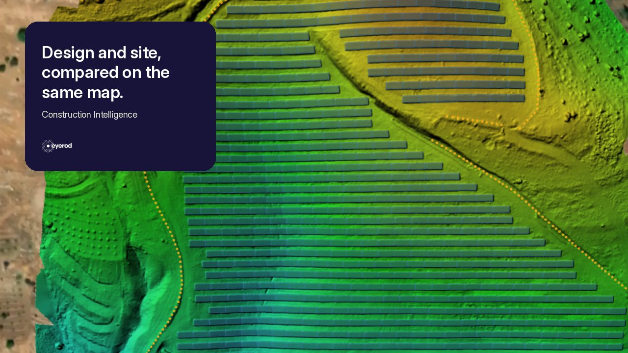
On a solar site, small differences between the approved design and the work on the ground accumulate as construction progresses, and the as-built record is built on exactly those differences. eyerod brings regular drone capture, design files, field measurements, and construction evidence into the same context. The goal is not to reconstruct history at closeout, but to keep the built condition visible, measurable, and traceable while work is still happening.
As-built: a record of the built condition
An as-built record describes what was actually constructed, rather than only what the design intended. So the practical question is not whether an as-built should be “verified” as a separate concept; it is how teams can see design-to-site differences early, capture critical changes at the right time, and create a dependable record of the built condition. In utility-scale solar projects, that distinction matters across cable routes, tracker rows, drainage, access roads, inverter pads, grounding layouts, and connection points. Drone mapping supports this work through orthophotos, orthomosaics, Digital Surface Models (DSM), and point clouds.
Design, redlines, and the final record
A redline drawing is the live working set where construction changes are marked during the project. As-built documentation records the actual installed condition based on field information. A record drawing is the reviewed, final archive set derived from verified redlines and field data. Contract language varies, but the final package must reliably represent the built asset.
What belongs in a solar as-built package?
A utility-scale PV as-built package commonly includes plant layout, tracker and pile geometry, DC/LV/MV cable routes, cable schedules, single-line diagrams, grounding layouts, inverter-transformer-switchgear locations, roads, grading, drainage, topography, string configuration, and documented design deviations. It is a technical memory for operations, maintenance, fault finding, modifications, and asset management.
Drone workflow for design-to-site comparison
A drone site survey begins with RTK/PPK capture and, where needed, ground control. The team produces orthophotos or orthomosaics, DSMs, and point clouds; aligns CAD, GIS, or BIM data to the site coordinate system; overlays design and field conditions; flags visible deviations; and checks critical findings with GNSS rover or total station. The output is a measurable verification workflow, not just aerial photography.
Repeating that capture on a fixed rhythm feeds the same dataset used for progress reporting. We covered how flight frequency and automation follow the construction tempo in drone dock systems in solar site monitoring.
What do orthophotos, DSMs, and point clouds provide?
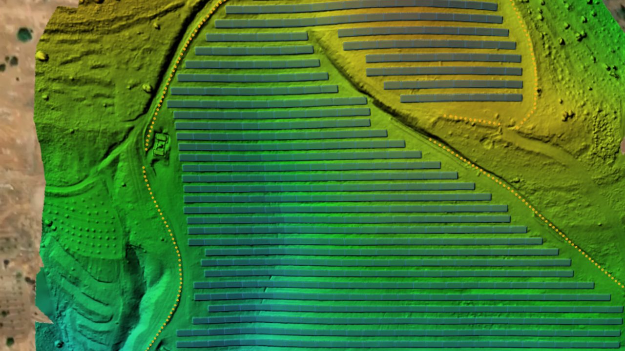
An orthophoto is a geometrically corrected aerial image suitable for measurement and CAD/GIS overlays. An orthomosaic provides one georeferenced map of the entire site. A DSM represents elevations across visible surfaces and supports grading, drainage, and earthwork analysis. A point cloud provides dense three-dimensional data for design-versus-reality comparison.
Accuracy and ground-survey confidence
Accuracy depends on GSD, flight altitude, overlap, RTK/PPK, ground control, lighting, processing, and independent checkpoints—not on the drone alone. Well-designed workflows can deliver centimetre-level results, but total stations and GNSS rover surveys remain essential for tight tolerances, stakeout, acceptance points, and disputes. The strongest model combines wide-area drone visibility with ground-survey confidence.
What drones cannot capture: record it before it is covered
Drones cannot directly verify buried cables, backfilled trenches, underground tie-ins, bedding layers, or concealed infrastructure. The solution is progressive pre-backfill capture: fly while the trench is open, record critical levels and tie-ins with ground survey, maintain redlines, and connect imagery, measurements, and revisions in one record system.
Reviewing site data in one context with eyerod
As-built data should not be treated as a final PDF archive. eyerod Construction Intelligence brings orthomosaics, DSMs, point clouds, redlines, and survey checks into one working environment. It helps teams answer: What was actually built? Where does it differ from the approved design? Which work must be measured before it is covered? This supports earlier decisions and a stronger handover.
eyerod’s design-to-site comparison workflow
eyerod brings orthomosaics, DSMs, point clouds, and CAD/GIS design data into the same decision context. Teams can review visible work by zone, asset, or work package; flag design-versus-site deviations; and verify critical points with GNSS or total-station checks. When open-trench, tie-in, and pre-backfill capture are included, the as-built handover package becomes an evidence chain built throughout construction—not a last-minute document collection exercise.
You can review the full scope in the Construction Intelligence section of eyerod Solutions, and see how the same data feeds progress reporting in how to track solar construction progress with drones.
Carrying the record into closeout
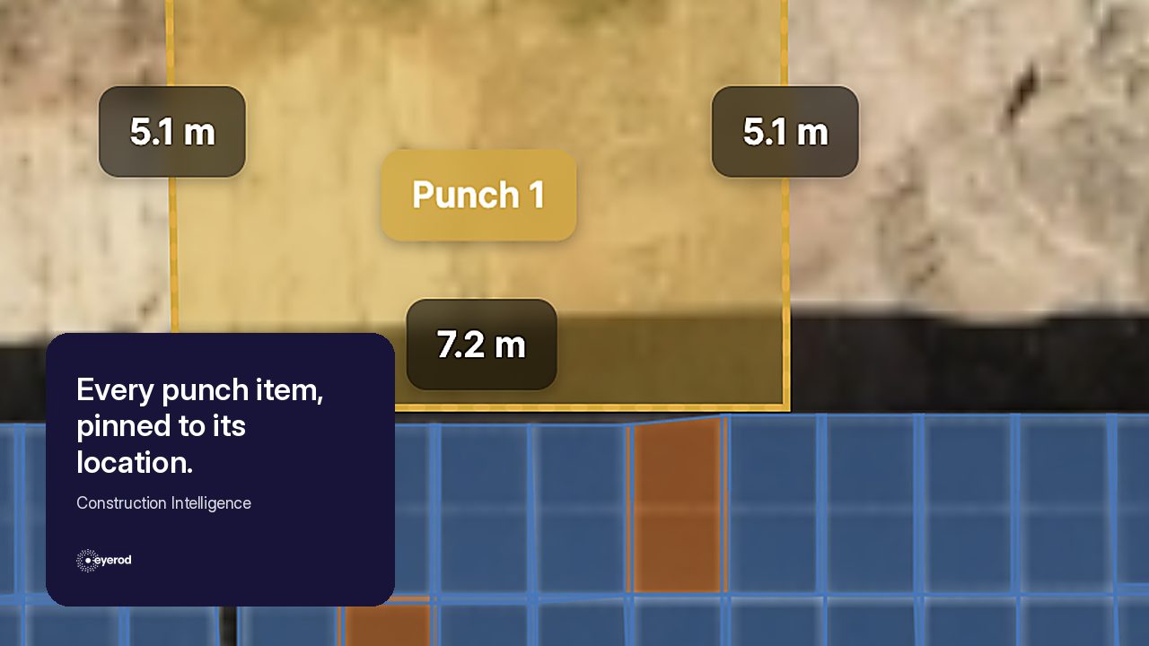
Design-to-site comparison is not a standalone report; it also feeds the open work and acceptance records handled at closeout. We look at how punch list and ITP records on the same orthomosaic complete that chain in punch lists and ITPs.
Quick answers
Can a drone create an as-built survey? Yes, for visible assets; buried work requires progressive capture and ground-survey verification.
Can drones see buried cables? No. The record must be captured while the trench is still open.
Do I need RTK/PPK? Not always for visual documentation, but it is strongly recommended for coordinate-based comparison and acceptance-grade deliverables.
Is an as-built the same as a record drawing? No. The as-built records the installed condition in the field; the record drawing is the reviewed final archive set derived from that data and the redlines.
To discuss how design-to-site comparison could work on your project, get in touch with the eyerod team.
Punch Lists and ITPs: Managing Solar Quality Before Closeout