Drone Dock Systems in Solar Site Monitoring: Automated Flights, Mapping, and Progress Reporting
Constructioneyerod · · 4 min read
Drones are nothing new on solar projects. What drone-in-a-box solutions change is that flying stops being a one-off, manually run, crewed operation and becomes a repeatable, fully automated data collection infrastructure.
What does drone-in-a-box change on solar sites?
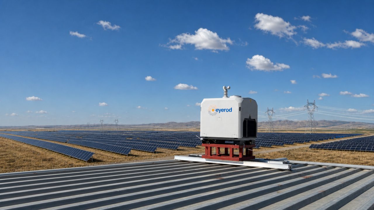
Systems known as drone-in-a-box or drone docks are fixed stations that shelter the aircraft on site, launch the planned mission, recharge the drone after landing, and transfer the collected data to the network. The same route can be re-flown with similar flight parameters daily, weekly, or whenever needed.
This repeatability matters especially on utility-scale solar projects. Instead of imagery collected on different dates with different methods, you build a regular site record that can be compared over time.
A dock is an image collection infrastructure
A drone dock system does not, by itself, produce a progress report, a thermal finding, or a project decision. What the hardware does is collect the planned RGB or thermal imagery from the site in a consistent way.
The operational value is created in the steps that follow:
- RGB or thermal imagery is captured on site.
- The images are transferred to a secure storage and processing environment.
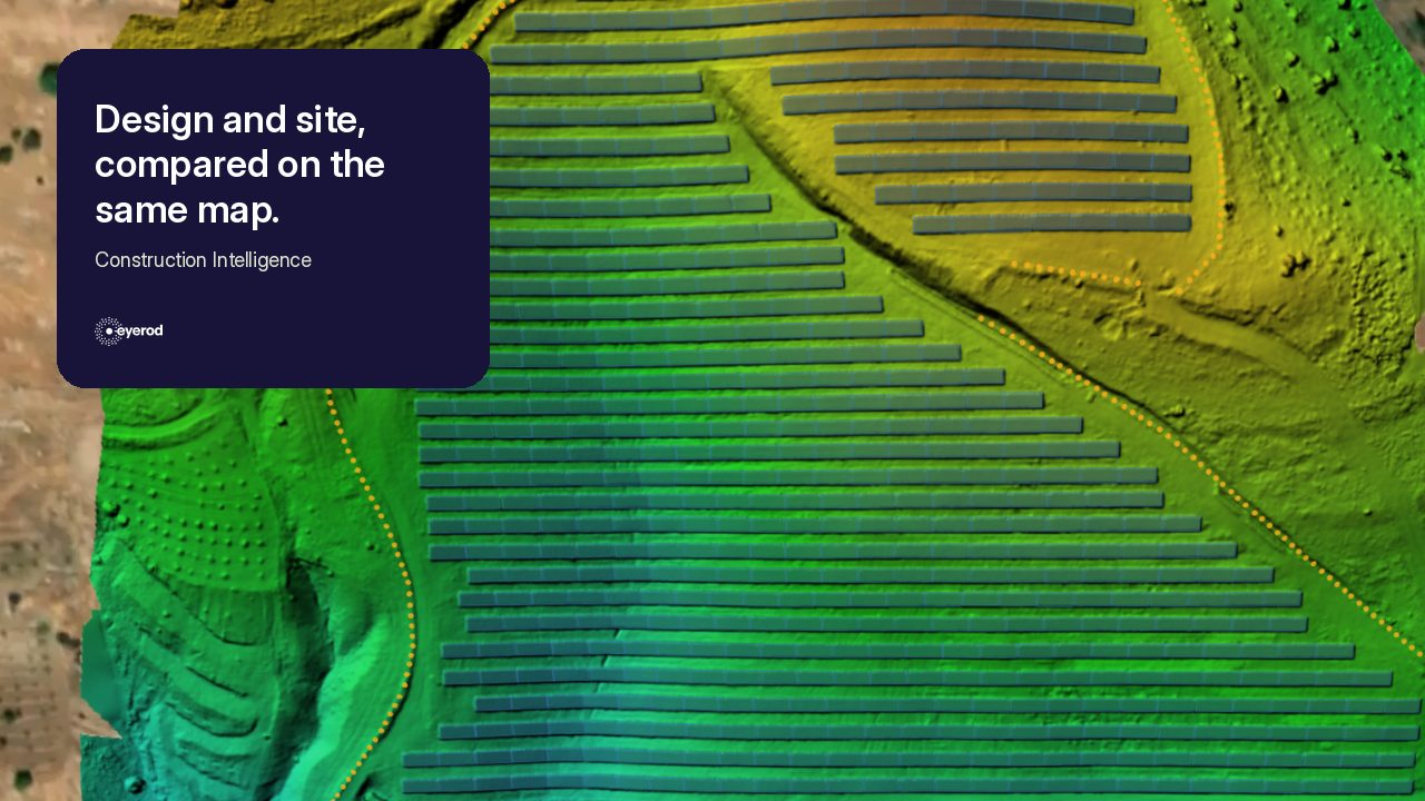
- Photogrammetry produces the orthophoto, the digital surface model, and the required map outputs.
- AI models analyze components, progress status, or supported thermal findings.
- The results are fed into the maps, reports, and task flows project teams already use.
This is why choosing a dock and choosing the analysis and project-management software should be evaluated separately. Flight time, weather resistance, and charging time are part of the hardware decision. How the data is processed, where it is stored, which project records it is matched with, and how teams use it is what determines the business value.
Regular site visibility during construction
From a Construction Intelligence perspective, the core contribution of drone dock systems is that site data can be collected more frequently and with the same method.
Orthophotos and digital surface models produced from repeated RGB flights make it possible to track mechanical components, excavations, roads, and other site works. When different dates are compared, installation progress, completed areas, and deviations that need to be reviewed against the project plan become far more visible.
The main point is not simply increasing the number of flights. It is that data is collected regularly, with the same method, without depending on people being on site, and that field, office, and investor teams can all look at the same up-to-date dataset. Without a regular data flow, even the most advanced aircraft produces limited value for project management.
Continuity of thermal data during operations
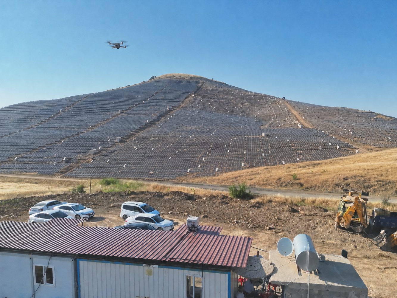
Systems carrying a thermal sensor support repeatable thermal data collection from a solar site when suitable capture conditions are met. During analysis, supported findings such as hotspots, bypass diode activation, and string or module open circuits can be classified.
Thermal analysis and the digital twin have separate roles here. Thermal images go through a separate analysis process. Completed findings are then written to the relevant asset and coordinate records on the digital twin. When new scans are matched with the same asset records, historical comparison becomes possible.
This structure can show whether a finding was recorded on specific dates. On its own, it does not diagnose a root cause or predict a future outcome.
What does eyerod do in this data flow?
eyerod is a solar project management platform built around the imagery coming from the field.
Within Construction Intelligence, RGB drone data is turned into orthophotos and digital surface models; component and progress data is analyzed to create daily project records and reports. Within Asset Intelligence, thermal analysis runs as a separate process, and completed findings are written to the relevant asset and location records on the digital twin and tracked over time.
Drone dock systems can increase the frequency and repeatability of data collection. The value eyerod creates is turning that imagery into the maps, measurements, reports, and decision records project teams can actually use.
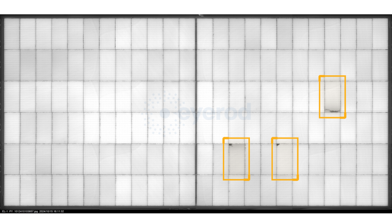
This approach does not leave quality, installation, and operations data in three separate folder structures. Quality Intelligence, Construction Intelligence, and Asset Intelligence connect the different phases of a project within the same Solar Intelligence structure. For a closer look at the quality side, see our article on EL image analysis in PV module quality control.
Conclusion
Drone-in-a-box systems represent a significant infrastructure shift for solar sites. But for an investment decision, looking only at the aircraft's technical specifications is not enough. Flight permissions, site connectivity, data management, analysis capacity, and the outputs project teams will use have to be designed together.
To turn the drone data flowing in from your site into outputs your project teams can use, get in touch with the eyerod team.
Source note
- DJI Dock 2 and Dock 3 official technical documentation
- EASA Specific Category, SORA, and PDRA framework
- Turkish DGCA (SHGM) SHT-İHA regulations
- Academic studies on PV component detection in drone imagery
EL Image Analysis in PV Module Quality Control: Defect Detection and Acceptance Criteria