How Drone Thermal Inspection Works - and When Results Can Be Trusted
Thermal Analysiseyerod · · 2 min read
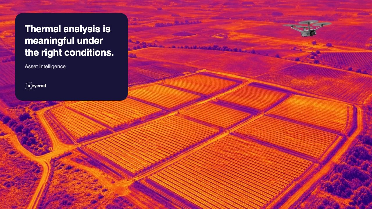
Drone thermal inspection helps solar teams make temperature differences across a large plant visible. A completed flight, however, does not automatically produce reliable thermal results. Irradiance, wind, cloud cover, plant operating condition, camera calibration, image resolution and flight planning all influence what can be interpreted.
IEC TS 62446-3 provides a framework for outdoor PV thermography covering equipment, environmental conditions, procedures, reporting and personnel competence. Any contractual claim of compliance should be checked against the current licensed standard and the project’s own requirements.
Conditions before the flight
For module thermography, IEC TS 62446-3 applications commonly refer to at least 600 W/m² irradiance in the plane of array. Wind and rapidly changing cloud conditions can affect how temperature differences appear. The inspection record should therefore include irradiance, wind, cloud observations, ambient and module temperatures, as well as the plant operating state.
Camera resolution alone is not enough. Ground sampling distance, or GSD, depends on the camera, lens and flight height together. Detailed module thermography needs sufficient image detail to distinguish relevant patterns. Radiometric thermal imagery, calibration information and matching RGB images add important context for analysis.
What a useful report contains
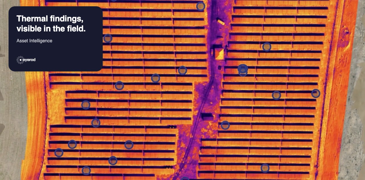
A thermal report should include project and flight details, equipment and calibration information, environmental conditions, thermal and RGB imagery, location, the observed pattern and the recommended next check. A hot area in an image is a finding, not automatically a confirmed root cause. EL analysis, I-V testing or a field check may be appropriate next steps.
eyerod Asset Intelligence
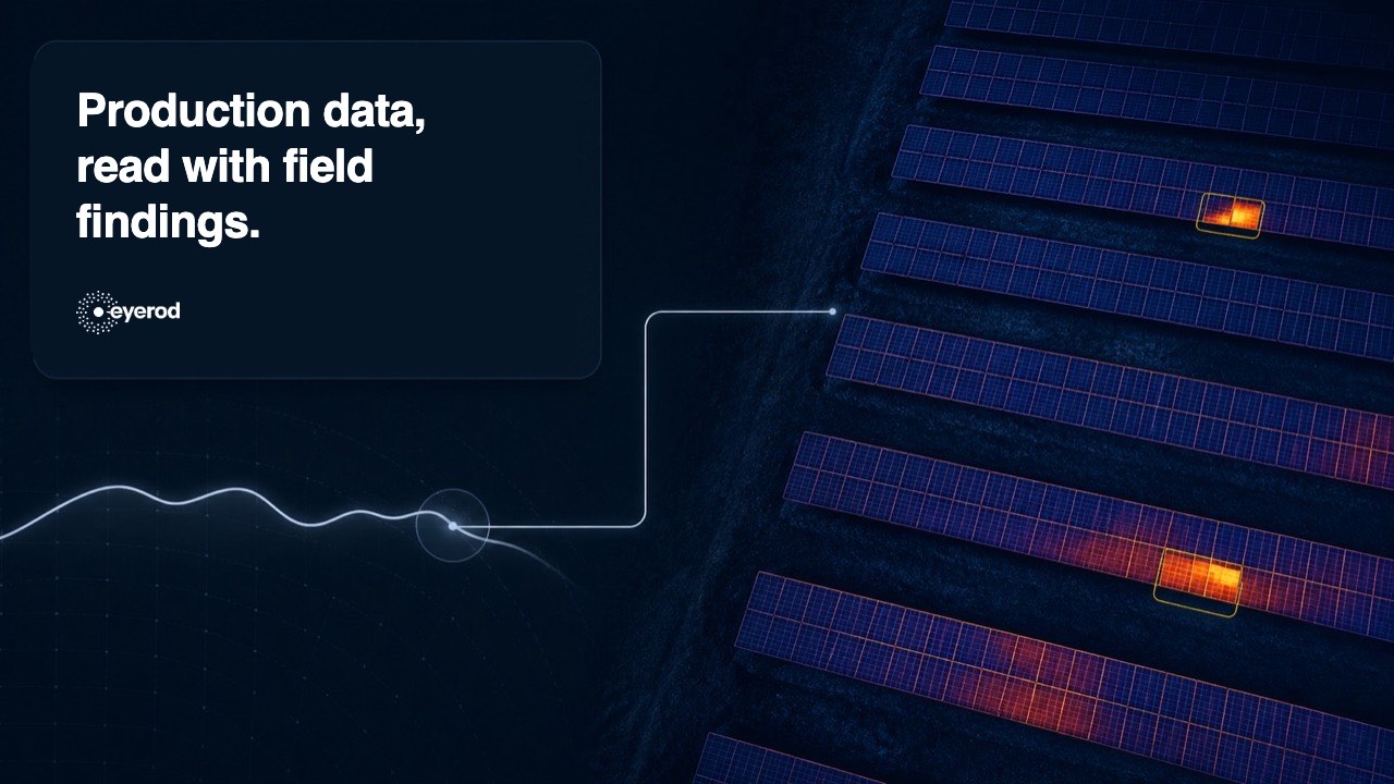
eyerod Asset Intelligence carries thermal and RGB field data into an analysis workflow and links completed findings to the relevant asset and location in the Thermal Analysis and Digital Twin record. When later surveys are processed against the same asset records, teams can review the historical record alongside the current finding. Explore the approach at eyerod Solutions.
Practical questions
Can thermal flights be conducted under clouds? Rapid irradiance changes can affect interpretation. The data should be assessed with the recorded conditions.
What height should a drone fly? There is no single height. It is calculated from the camera, lens, module dimensions and target GSD.
How often should inspections happen? Frequency should reflect risk, climate, asset age, previous findings and the maintenance plan.
For fault patterns and confirmation steps, read PV Panel Faults.
PV Panel Faults: Detecting Hotspots, PID, String and Diode Issues